
News
2024.08.02
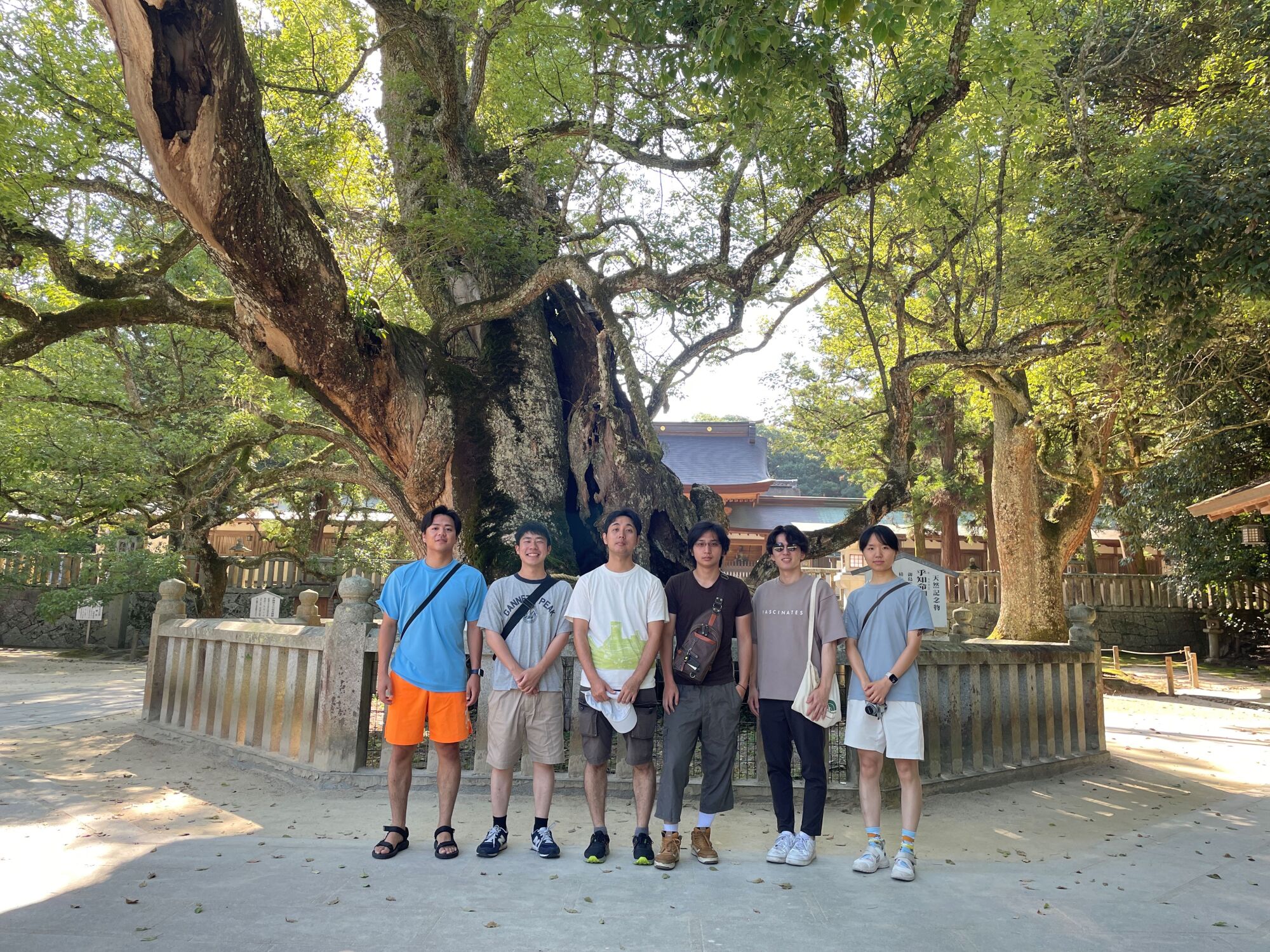
三日間、夏の研究合宿ということで、しまなみにいってきました。広島大の力石G、東工大の河瀬Gの先生・学生さんとの合同ゼミ、ラヂバリさんでのコミュニティFMにおける防災ネットワーク・発信の取組み、しまなみ海道における視点場ネットワーク、松山における歩けるまちづくり等、研究から現場まで、幅広く学びました。
合同ゼミでは、被災下でのネットワークの影響について、ネットワーク分析、動的交通流モデル、行動モデルの三つのアプローチでの研究成果を広島大・東工大から発表いただきました。こちらからは、被災想定SP調査のシステム開発、EV充電普及予測の長期短期統合モデルの研究状況を説明し、今後の発展可能性について議論しました。翌日も研究室単独でゼミを行い、春夏研究の成果をそれぞれの学生さんから披露してもらいました(一安心しました)。
僕が学生時代からお世話になっているラヂバリさんにも伺い、地域の中でのコミュニティFMの役割、特に防災面について、お聞きしました。もちろん、スマホやインターネットは便利で人々に浸透していますが、なにがわかるかわからない災害対応として、FM電波やアマチュア無線、市民とのネットワークなどを備えていることは頼もしく思いました。また、土浦と同様に中心市街地が抜けていく中で、広幅員の道路を生かしたまちづくりにも、今後、展開が見られるかもしれません。
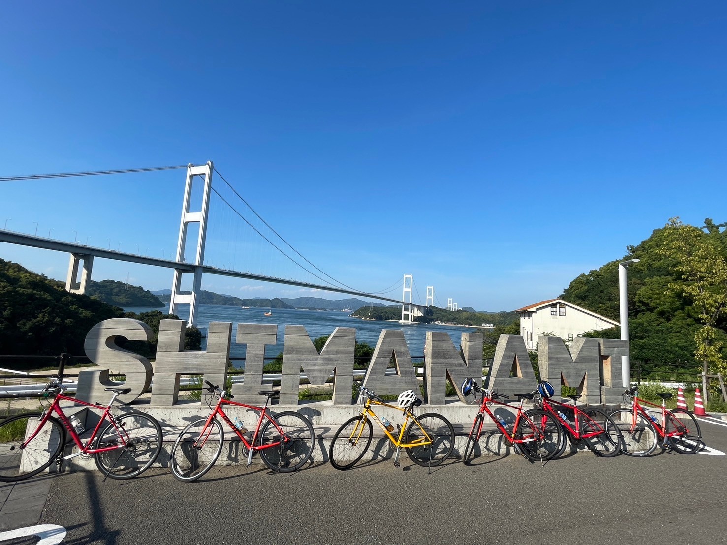
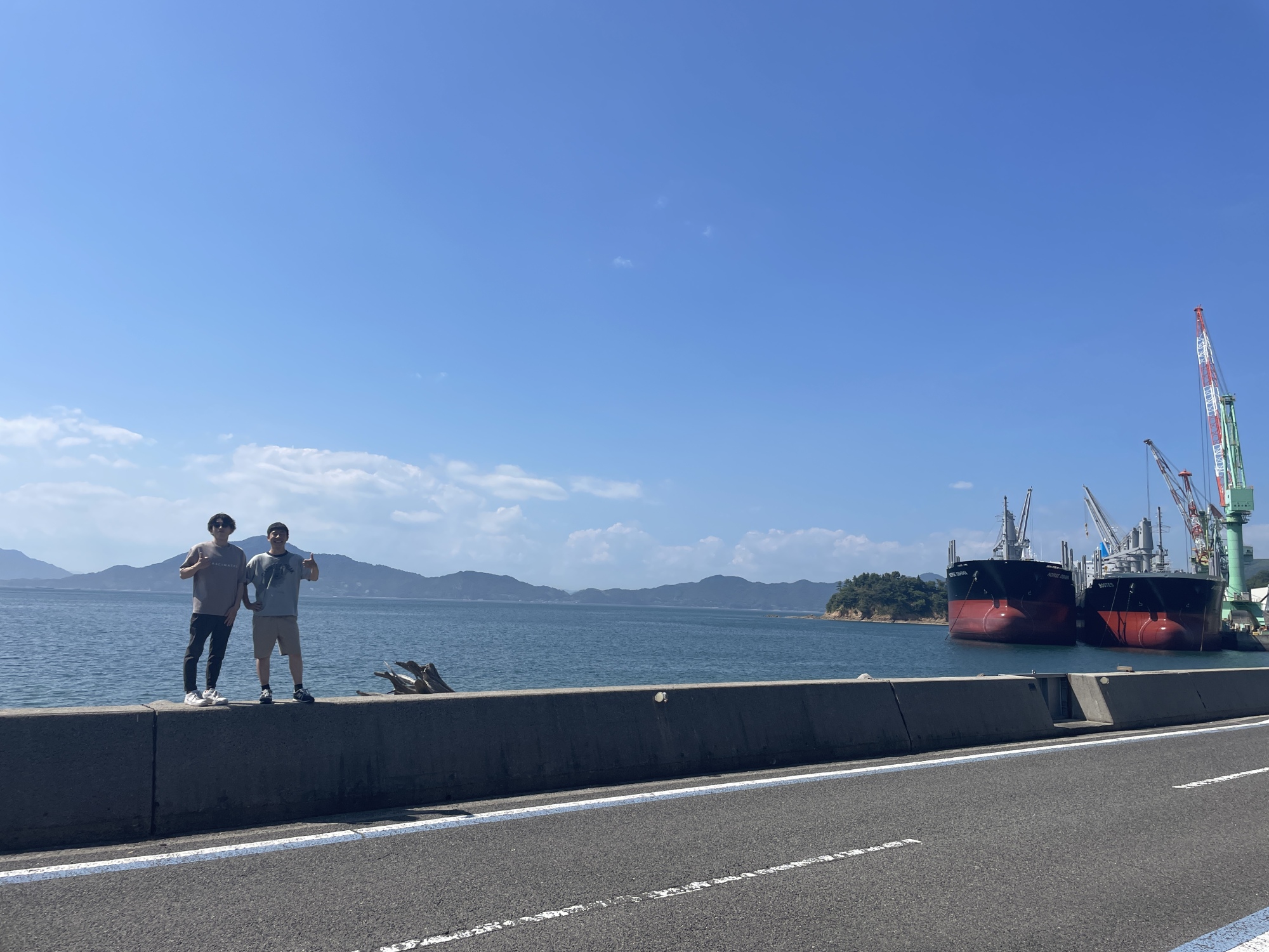
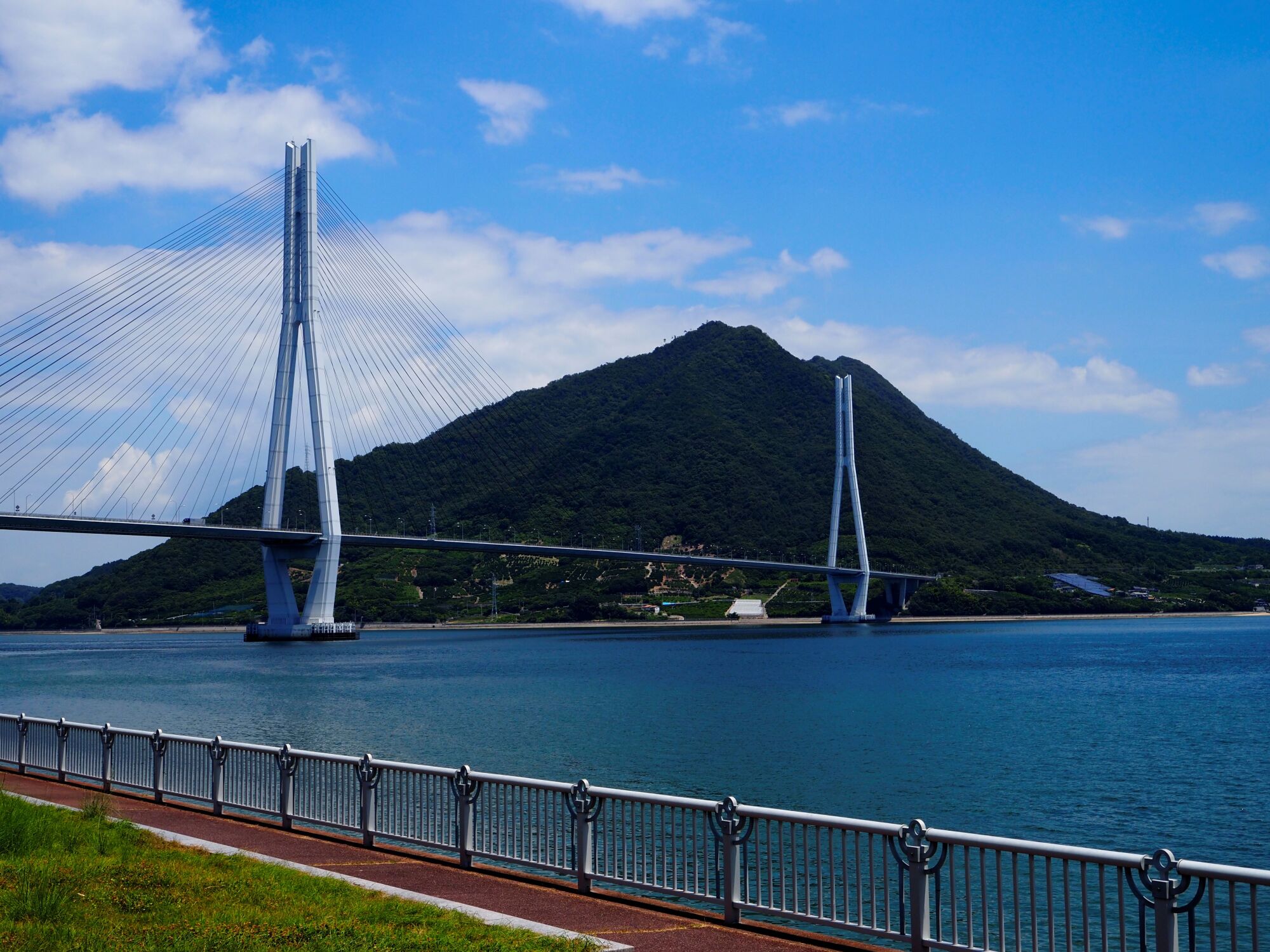
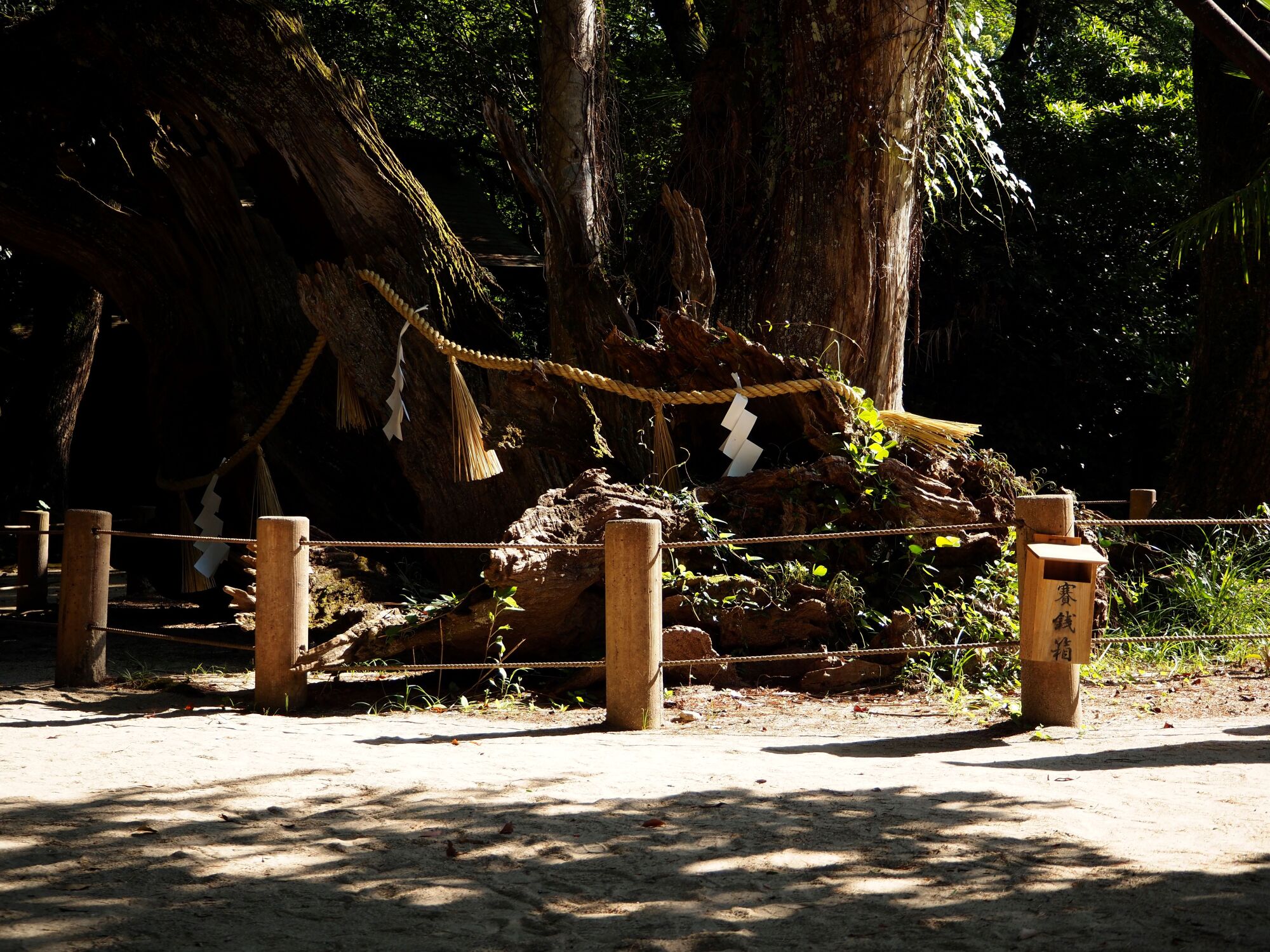
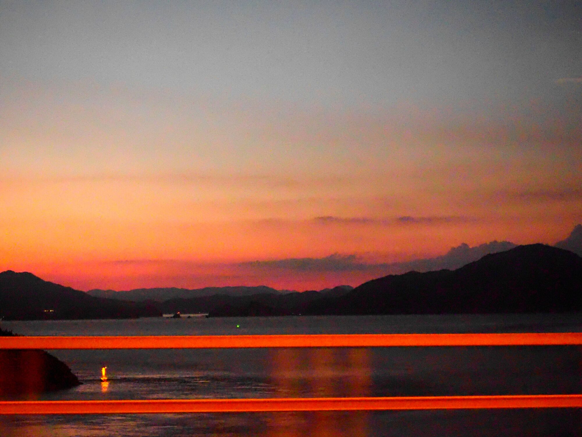
自転車や車を使って、馬島、大三島、大島、伯方島などをみてまわり、りんりんロードとはまた異なる海辺のサイクリングロードの強み、(坂はつらいものの)上下する視点場の面白さを体感しました。そこにある風景の価値を観光化(金銭化)する意味も考えさせられました。
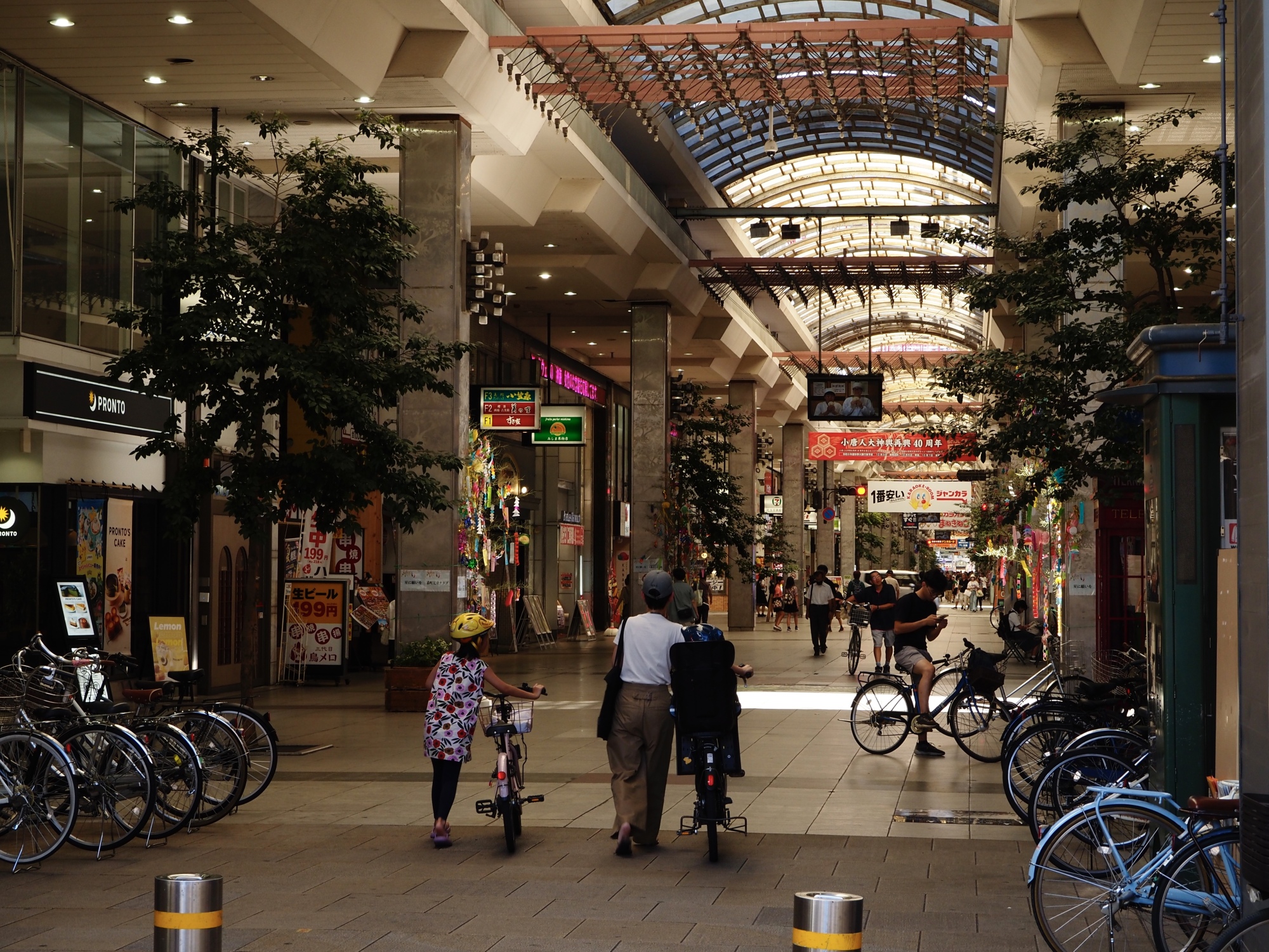
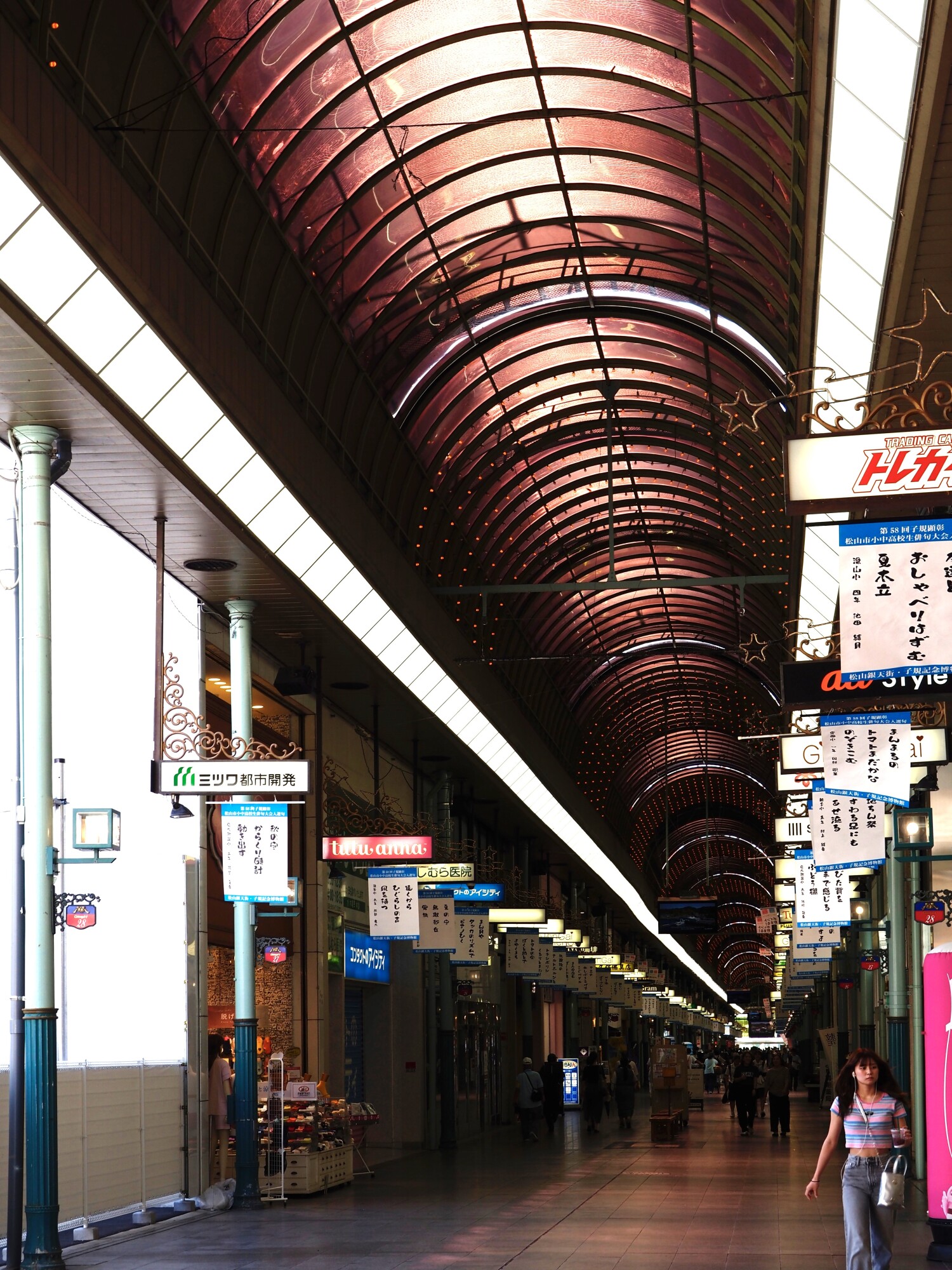
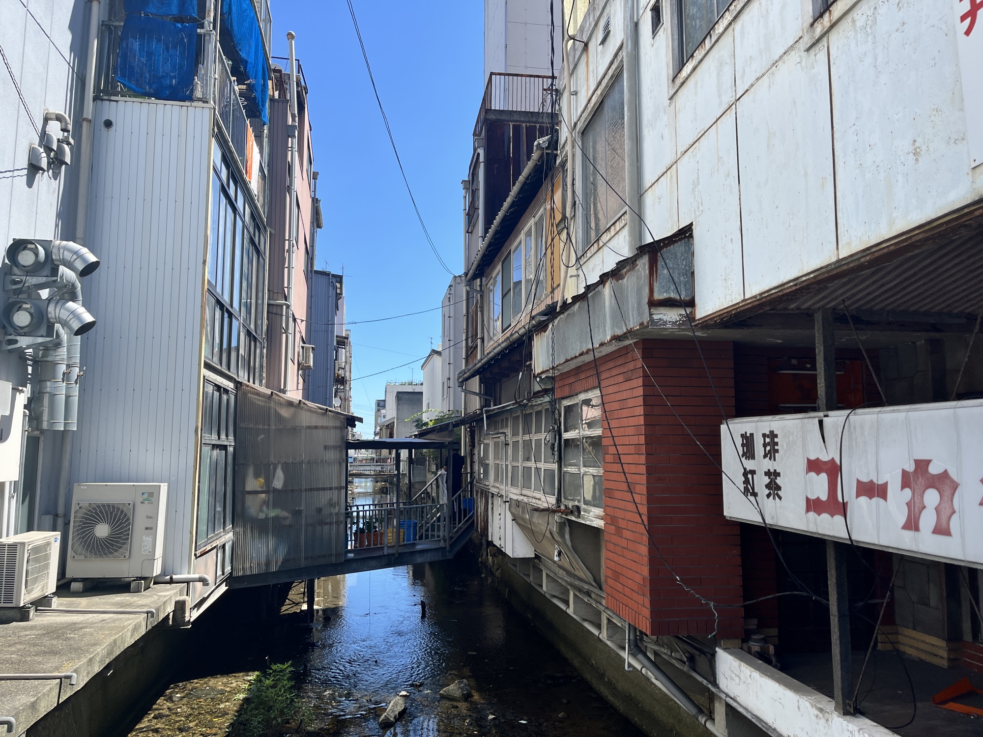
最後は、駆け足でしたが、松山で、花園町通り、松山市駅、銀天街、大街道、ロープウェイ通りを歩いて巡りました。市駅の再開発のまっただ中ですが、歩いている人や自転車の多さに驚くとともに、花園町通りやロープウェイ通りの細かな道路空間の作り込みを学んできました。
計画やデザインをつくるために、よい空間の事例を知ることは欠かせませんし、単なる提案だけではなく、実際に進めるには多くの視点があることを考える必要がありますし、事前にも事後にも調査、データや理論で現実に展開するための肉付けが必要です。
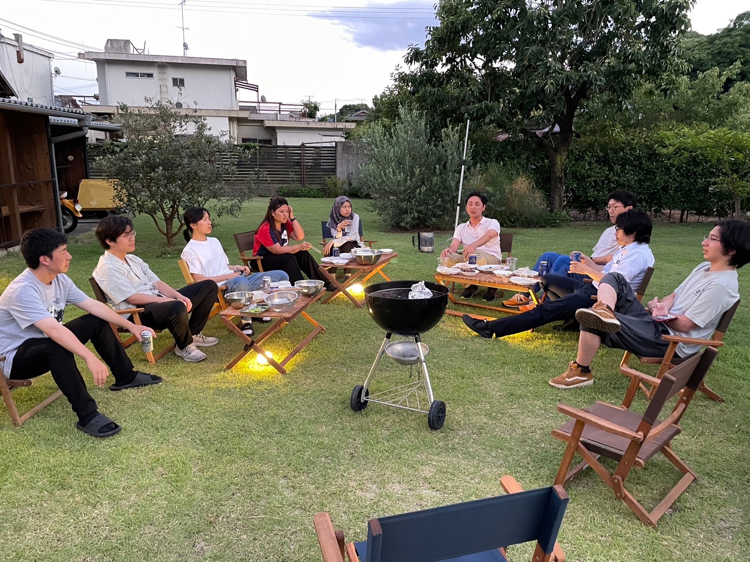
限られた三日間でしたが、充実した時間だったと思います。実りの秋へ、ひとまず、研究室は夏休みです。
We went to Shimanami for a three-day summer research camp. We had a joint seminar with professors and students from Prof. Chikaraishi’s group at Hiroshima University (HU) and Assi. Prof. Kawase’s group at Tokyo Institute of Technology (TI Tech). We also learned about community FM disaster networks and broadcasting initiatives at Radio Baribari, the viewpoint network along the Shimanami Kaido, and walkable urban development in Matsuyama. It was a broad learning experience from research to practical applications.
In the joint seminar, HU and TI Tech presented their research on the impact of networks during disasters, using three approaches: network analysis, dynamic traffic flow models, and behavioral models. From our side, we presented the system development of a disaster scenario SP survey and the research status of a long-term and short-term integrated model for predicting the spread of EV charging. We also discussed the future development potential of these studies. The following day, we held an independent seminar where our students showcased the results of their spring and summer research, which was a relief.
We also visited Radio Baribari, a community FM station that has supported me since my student days, to discuss the role of community FM in disaster response. While smartphones and the internet are convenient and widely used, having FM radio, amateur radio, and networks with citizens as part of disaster preparedness is reassuring. Like Tsuchiura, Matsuyama’s city center is evolving, and the use of wide roads for urban development may see further progress.
We toured Umashima, Oshima, Omishima, and Hakatajima by bicycle and car, experiencing the unique strengths of coastal cycling roads compared to the Rinrin Road on Tsuchiura. Despite the challenging hills, the varying viewpoints added interest. This trip also made me think about the value of the landscapes there and the implications of monetizing them through tourism.
In a quick tour of Matsuyama, we walked around Hanazono-machi Street, Matsuyama City Station, Gintengai, Okaido, and Ropeway Street. Despite being in the midst of redevelopment, we was surprised by the number of pedestrians and cyclists, and we learned a lot about the detailed street space design of Hanazono-cho Street and Ropeway Street.
Knowing good examples of spatial planning and design is essential for creating plans and designs. It’s important to consider multiple perspectives to move beyond mere proposals to actual implementation, and both pre- and post-surveys, along with data and theories, are necessary to flesh out practical applications.
Although it was only three days, it was a fulfilling experience. As we move into a fruitful autumn, our lab will now take a summer break.
Other news
↑